Where the City First Chose to Stand.
Before the skyline, before the rail lines, before the sandstone façades along Stephen Avenue, there was water.
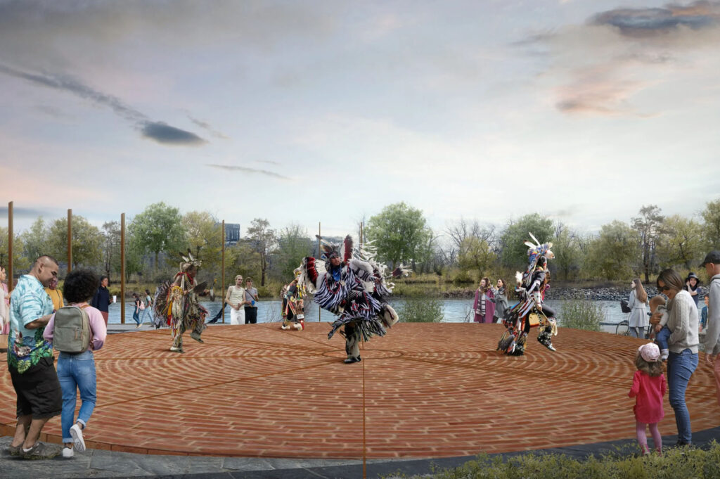
Fort Calgary stands at the confluence of the Bow and Elbow Rivers — a meeting place long before it became a fort. For thousands of years, Indigenous peoples gathered here, not because of strategy alone, but because of relationship. The rivers converged in a way that offered sustenance, movement, and continuity. Long before wooden palisades were raised, the land already held memory.
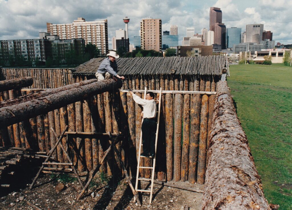
When the North-West Mounted Police established the fort in 1875, it was not the beginning of Calgary — it was a new chapter layered onto a much older narrative. The reconstructed log walls that visitors see today are only the surface gesture of a deeper story. What matters most is not the architecture, but the ground beneath it.
If you step away from the interpretive displays and walk toward the open grass where the rivers bend, the perspective shifts. The skyline rises in the distance — glass, steel, vertical ambition. But here, at river level, the city quiets. It becomes clear that Calgary did not emerge from nowhere; it emerged from convergence.
The fort’s design intentionally preserves these sightlines. Paths subtly align with the river curves. Markers embedded in the landscape hint at timelines far older than municipal boundaries. The experience rewards those who move slowly, who pause, who allow the city to recede just enough to hear what preceded it.
Fort Calgary is often described as the birthplace of the city. But perhaps it is more accurate to call it the place where Calgary chose to stand — and where it still remembers why.
Continue exploring Fort Calgary →
Historic landmark · Cultural landscape · Confluence of rivers